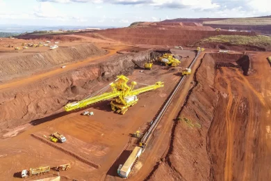
Today at the MassMin conference in Lulea, Sweden, Greg Baiden of Laurentian University, Canada (also Chief Technology Officer of Penguin Automated Systems) presented on a newly developed Underground Positioning System (UPS). The UPS has a range of some 2 km through rock and accuracy better than 3%. Mine trials are to be undertaken later this year and in 2009. Going forward, this has tremendous potential for finding trapped miners, for equipment mechanisation and mine wide asset management. The system employs VLF and would rely on a network of ‘satellites’ placed to surround an orebody or underground workings. The system has been developed in block cave mining research. In such mines, determining the rock breakage characteristics is of paramount importance to placing drawbells and accurately controlling the pull of the ore. Gathering rock flow information is difficult as the cave, once started, is completely independent inside the rock mass. Only gross controls such as drawbell pulling can be used to attempt to change the pull characteristics, but typically results are significantly after the fact and correlation with changes are difficult to measure.
Several attempts have been made to study flow using markers injected in the cave from above and retrieving them as they exit the cave. This approach provides the entry and exit positions with the assumption that the markers travel in a straight line between the points. This method has several deficiencies with the most notable being losing the markers in the cave. Several other groups have approached the problem using computer modelling. These models are difficult to validate and therefore the results are based on empirical evidence. Both approaches suffer from the lack of real field data.
The ongoing research is between Penguin Automated Systems and Rio Tinto with funding partners including the Ontario Centres of Excellence (OCE), Centre of Excellence in Mining Innovation (CEMI) and Laurentian University.
The concept behind the work is based on creating synthetic rocks (Smart RocksTM) with embedded computational, networking and positioning systems that can be injected into the cave. Positioning of each synthetic rock in real time is the result of using large scale VLF transmission systems embedded in the mine acting like satellites. Each rock keeps track of time-of-flight from each satellite at a known position. The position and time-of-flight information is then used to triangulate the synthetic rock position. As the cave moves all of the synthetic rocks move and are plotted using an animated display that accurately emulates the movement of the cave front determined by the synthetic rock movements.